
It was great to get back into the woods again yesterday after a couple of weeks of business travel. I intentionally kept this hike a bit shorter because I knew that this part of the trail runs along the Wisconsin River and I wanted to take my time and really explore this beautiful area.
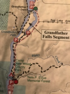
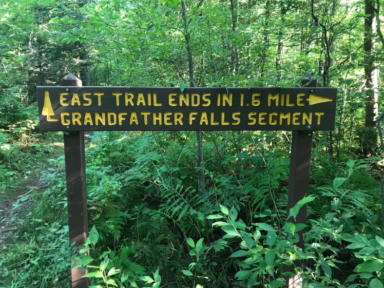
This hike is located just north of Merrill, WI, on Highway 107. It runs from the Grandfather Falls hydroelectric plant on the north end down to the Camp New Wood County Park on the southern end along with a nice 1.6 mile out and back spur that runs east from there through the Nels P. Evjue Memorial Forest. Bring lug soled hiking shoes and some patience with you for this hike as the trail spends a lot of its time winding through boulders and tree roots that can be a bit slippery. The scenery and hiking experience in this segment are incredible. Here is a map showing this fairly short segment:
You can see that there are many parking choices for this hike and the lots are all fairly large and can comfortably hold multiple vehicles. There are restrooms in Camp New Wood County Park and there is a port-a-let on the trail just south of the Grandfather Dam parking area near the hydroelectric plant. None of the parking areas offer any water service. I parked in the northern lot up by the hydroelectric plant, rode my bike south on Highway 107 to Camp New Wood County Park and then hiked the eastern spur out and back and then hiked the remaining trail back north to my car.
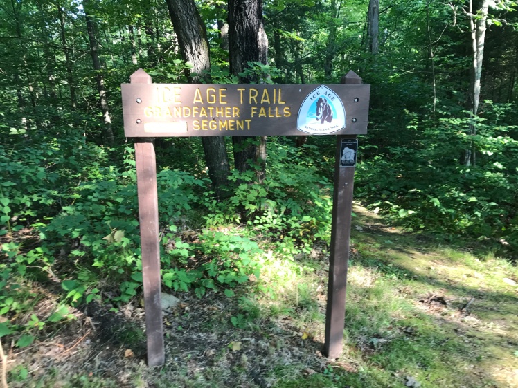
When I researched this segment I found some information that had me a bit concerned as to what condition the spur portion of the trail would be in. When I saw this entrance sign I began to think that those concerns might be justified:
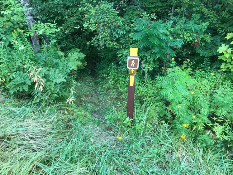
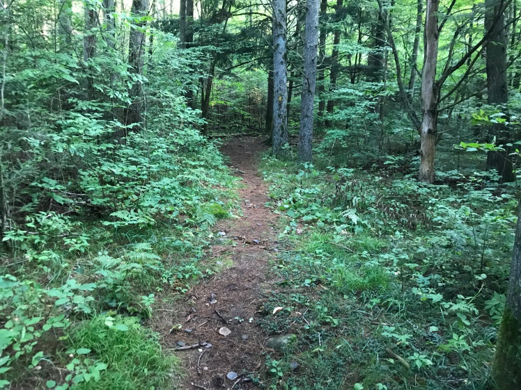
They weren’t. As has been my experience so far on all of the trail segments that are located in Lincoln County, the trail was well marked, well maintained and a real pleasure to hike:
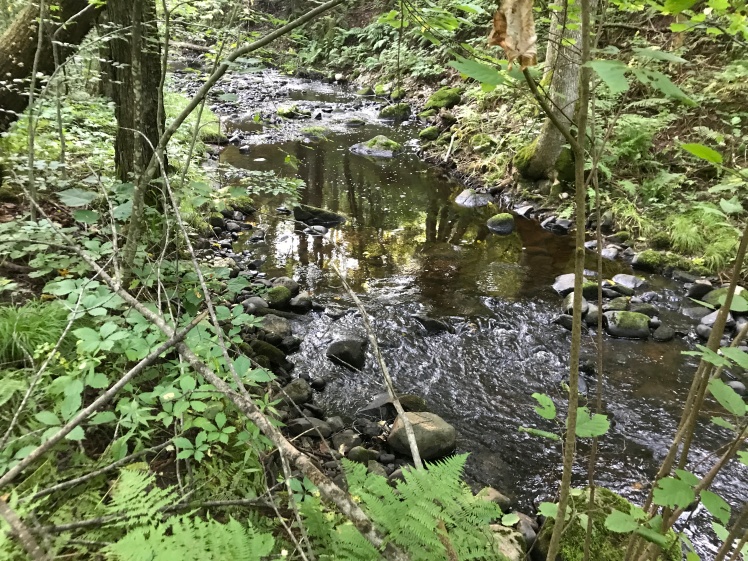
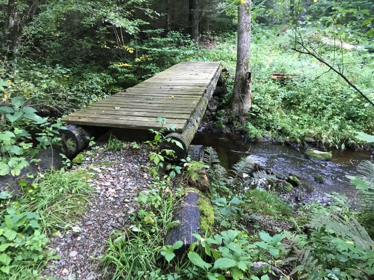
For the first few hundred yards, the trail follows Ripley Creek:
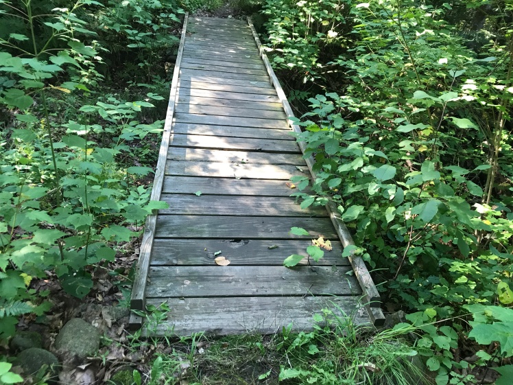
then crosses it on this bridge:
A quick route following note: A few hundred yards past this bridge you will come to a left turn where you can cross another bridge that will take you back across to the other side of this stream again. DON’T FOLLOW IT. The trail actually heads a bit right there into some brush and it is not obvious that it is doing so. I missed this turn, crossed the bridge and came into this beautiful meadow:
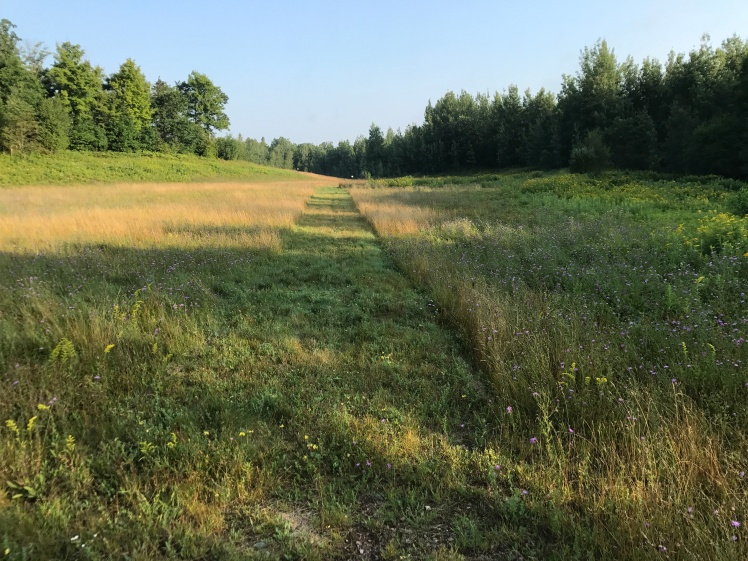
Beautiful, but off course! If you get to this area, turn around, go back across the bridge and look for the trail heading left into the woods as soon as you cross it.
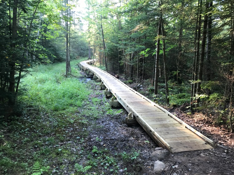
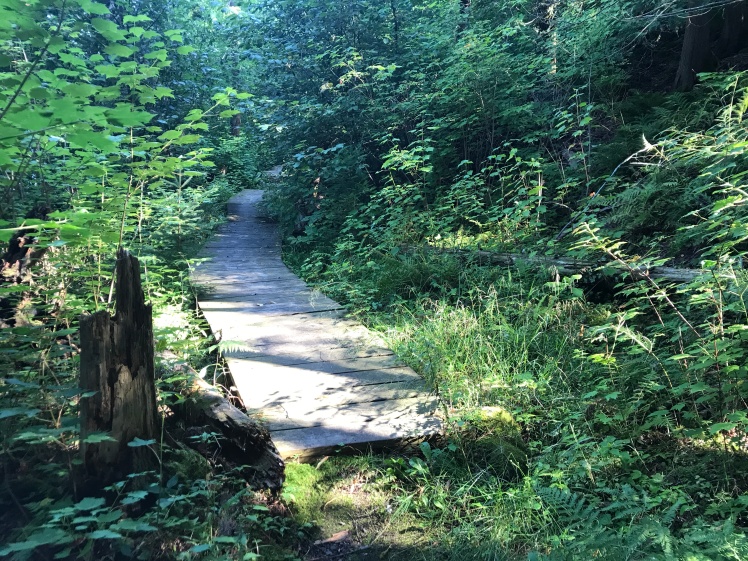
These walkways that take the trail across some low, muddy areas are fairly new. They still smelled like freshly cut wood:
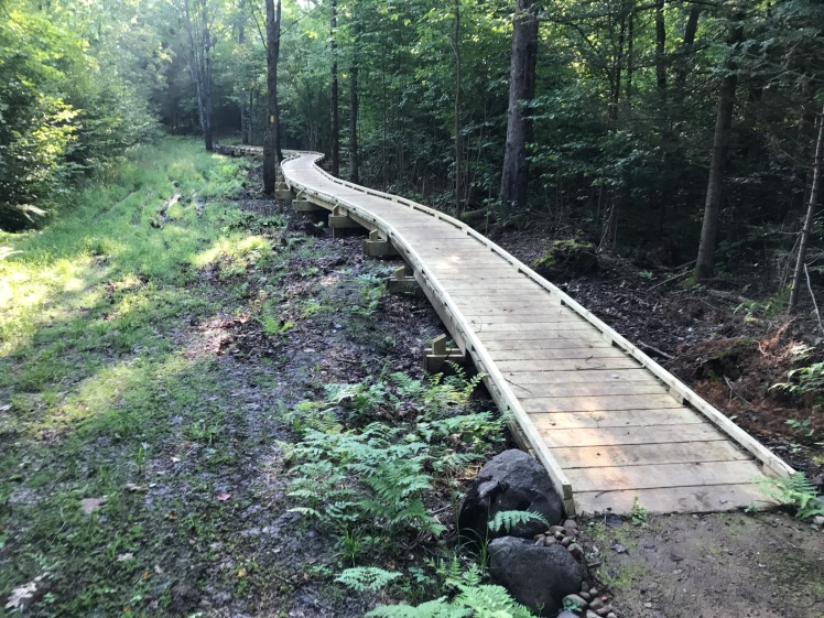
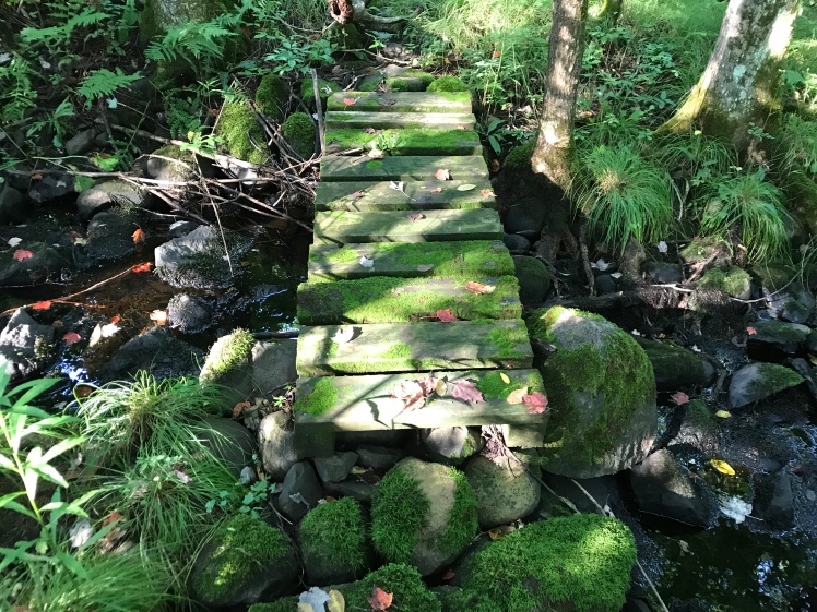
A much older walkway. Note all of the moss growing on it. As I mentioned earlier, these surfaces are very slippery so use caution when stepping on them:
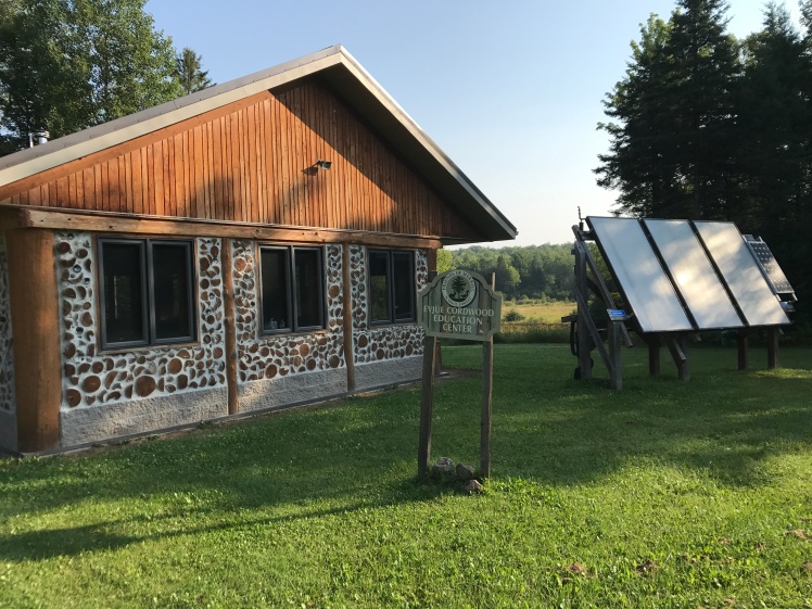
A very modern learning center that the trail passes by:
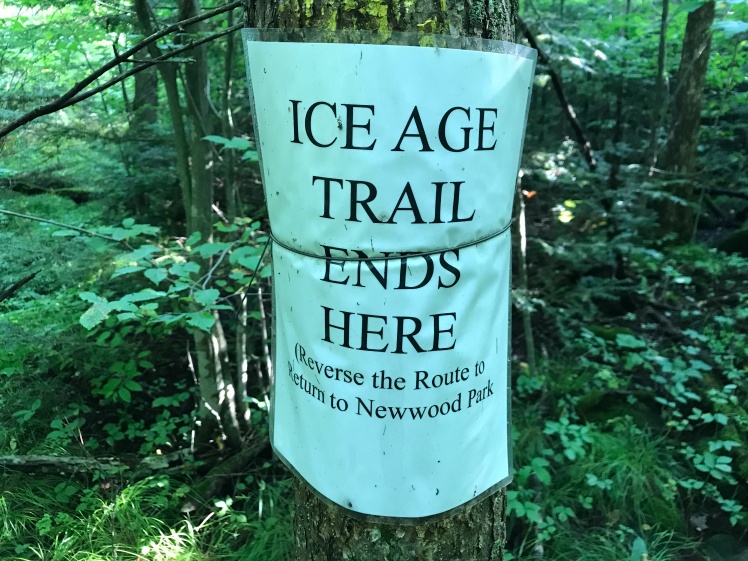
The spur ends at this sign:
After retracing your steps back to the start of this spur section, the trail crosses Highway 107 and drops into the woods where you quickly see this sign:
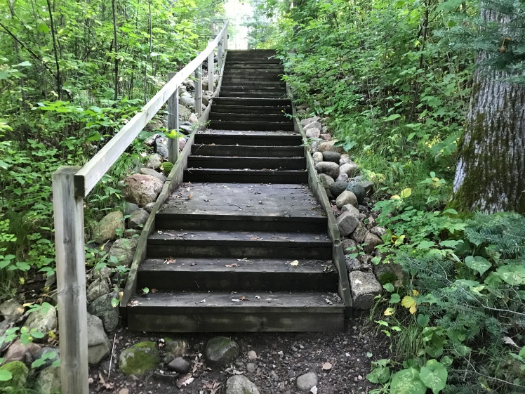
Heading north from the sign the trail climbs these stairs up to Camp New Wood County Park:
Walk north through the park to this sign where the trail picks up again as it now heads north along the east bank of the Wisconsin River:
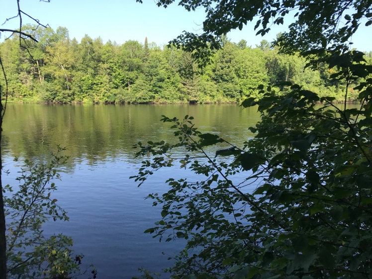
The first view of the Wisconsin River:
More constructed walkways that cross muddier portions of the trail:
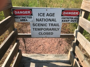
As I was hiking north here I ran into a trail closure for some construction work that is going on. If you look at the map, the trail closure is located between the two middle parking areas and, since there is a reservoir between the mainland and the trail along the river north of that point, the only way you can hike the remaining portion of the trail is to walk up the road to the northern parking lot and then hike the trail back south from there. Once you get there, this is one of the more amazing portions of the IAT. Awesome sights and sounds.
An interesting sign as you approach the start of this part of the trail near the hydroelectric plan:
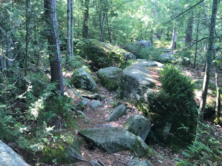
The trail here goes through many boulder areas and roots that tend to be slippery so, again, use caution:
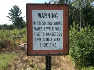
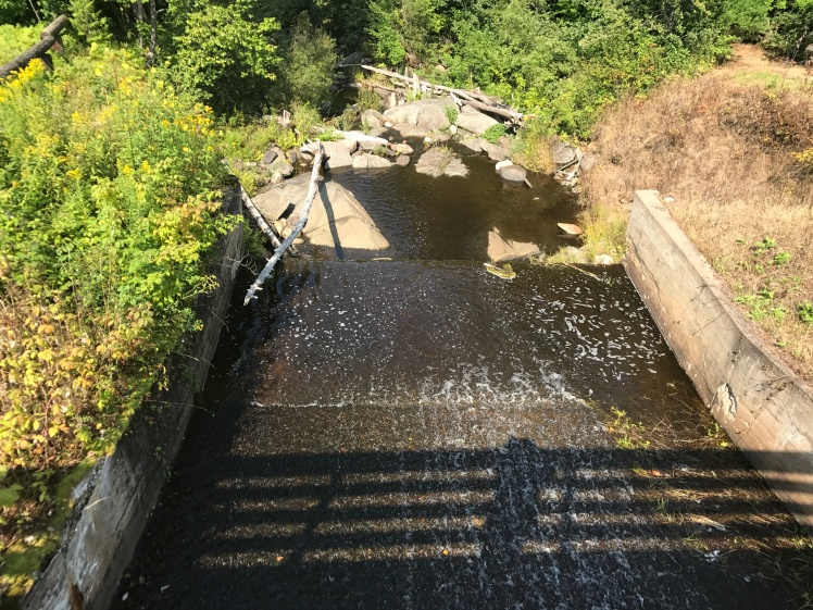
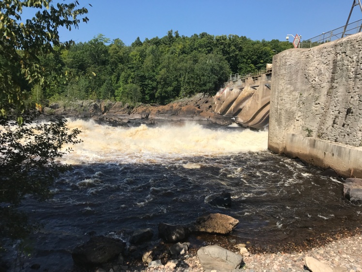
After about 1/2 mile heading south you will come to a bridge that crosses a spillway that is letting water out of the reservoir. At the end of the bridge is this sign:
This is a picture looking up the spillway from this bridge:
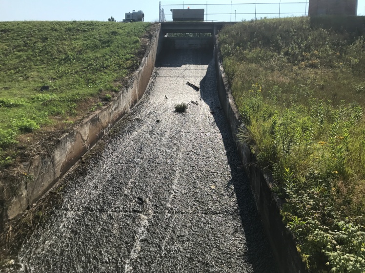
and another one looking the opposite direction down the spillway toward the river:
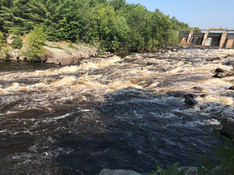
As I was taking these pictures I heard the siren from up at the dam so I certainly paid close attention to the river levels as I began hiking back in that direction.
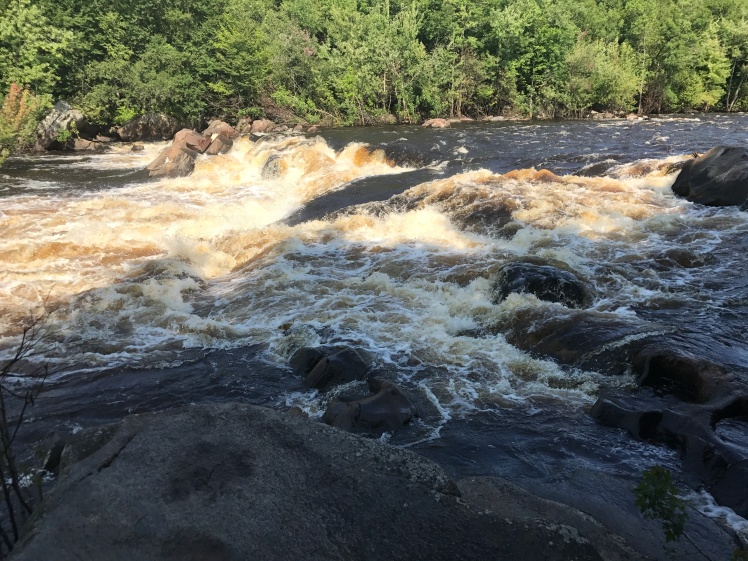
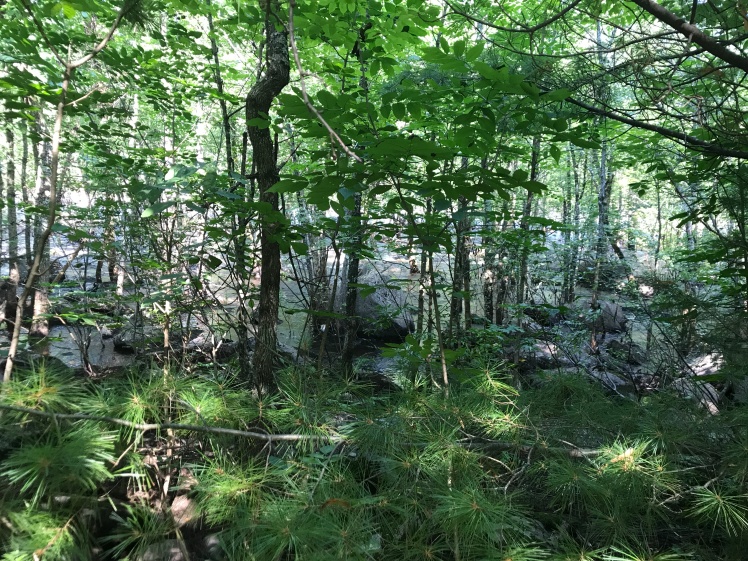
As you walk north along the river the current becomes increasingly stronger and the rapids become increasingly larger. What follows here is a set of pictures that I took that show this as I headed north along the river:
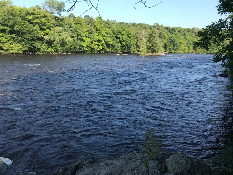
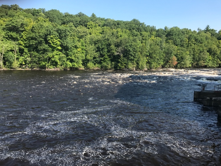
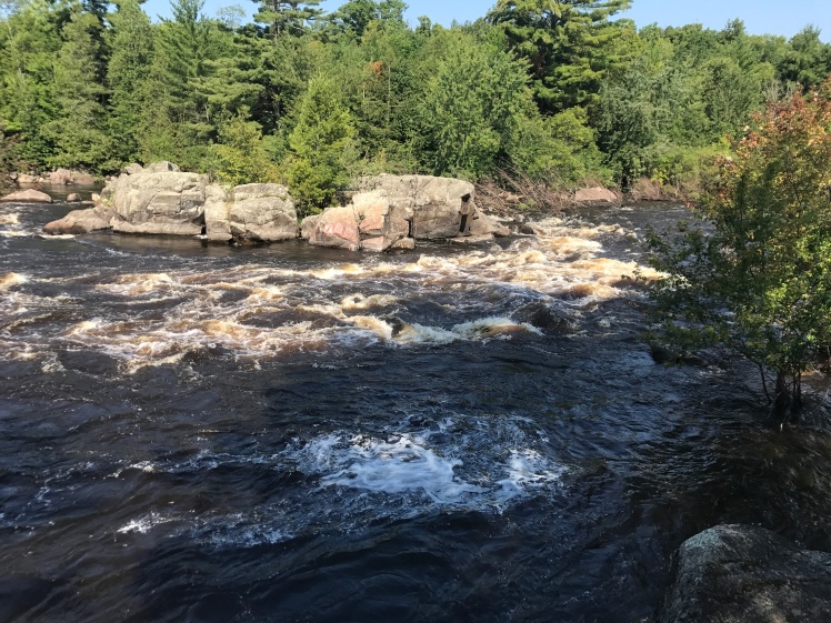
I’m not sure this picture shows this very well but these closer trees are actually in the water. I’m not sure if that is normal or if it is because the river level is higher due to the additional release of water as warned by the sirens:
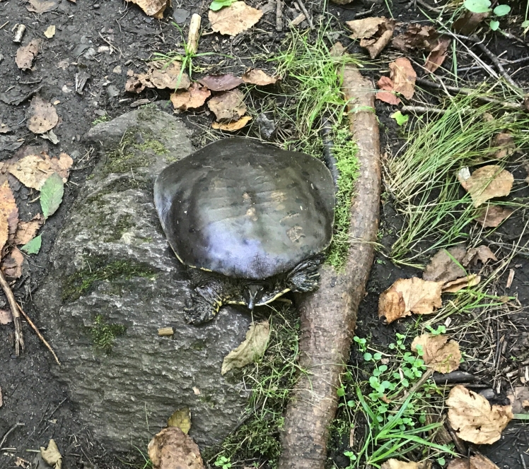
I wonder if even this guy knew what the sirens meant and came up to the level of the trail????
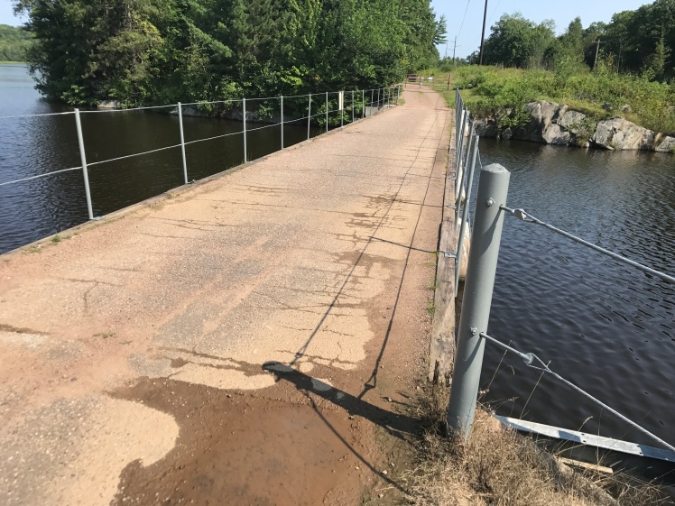
The bridge heading south from the parking lot that takes the trail over the reservoir:
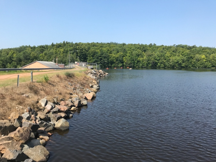
The river above the dam:
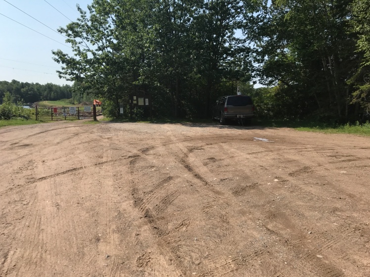
The large parking lot near the dam:
Weather – 80 degrees and a bit humid
Miles covered today – 6.1
Miles covered to date – 772.6
Miles remaining – 321.7
