
I had a chance to hike both of these segments yesterday and I came away from the experience with a couple of new realizations.
First, sometimes you need to sit back and rethink your plans and just stay home. I’ve never felt that way before during any of my thousands of hikes but I certainly did on this one. I did the entire bike ride/hike experience in a steady rain with temps around 60 degrees. The bike ride was done on what was mostly a gravel based road that was muddy and slick and, even though I wore rain gear on the bike, I was already fairly wet as I began the hike. With the steady rain continuing to fall and all of the vegetation completely soaked with water, by the end of mile 2, I was drenched. I could not have been more wet had I jumped into the river. I was surprised at this because I have done many hikes in the rain before and not had this problem. The difference was that I’ve never hiked in the rain in an area that has this much dense vegetation. I guess the good news was that it made the fording of the river a non-event. I definitely had some moments during this hike where I was asking myself “What the ____ am I doing out here?”.
The second realization was in the area of safety. As the trail climbs out of the Wisconsin River valley and begins heading west again, it is entering one of the most remote areas in Wisconsin. It is a beautiful place to be hiking through but the trail can be a bit rough in places. In the single track areas I seemed to be either stepping down into a hole or up onto a mound with nearly every step and there are many places where thick grass is lying across the path and hiding slippery roots and rocks that are underneath it. I found myself paying very close attention to every step in these areas because, if you are not paying attention and somehow manage to break or sprain an ankle or in some other way incapacitate yourself here; well, that just wouldn’t be good. I don’t know how often people walk these trails but certainly not often enough for you to be able to rely on any help coming along; and my cell phone service was non-existent.
Finally, I think it is even more critical to pay attention to the route in this part of the state. I have found it to be nicely marked but, I have also missed a turn or two because I was day dreaming or not paying attention. You REALLY do not want to get lost out here.
Here is a map of the segments:
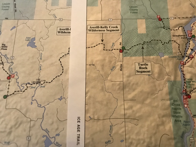
There are two parking choices for these segments; one at each end of the hike. Neither of them has any restrooms or water. I chose to park at the western end of the hike in the lot located on the west side of E and then rode my bike north and then east on E to the parking lot located on the north side of E at the eastern end of these segments. This ride is 6.1 miles. The road is gravel until you get to Burma Road and then has a nice blacktop surface from there to the parking lot.
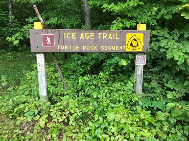
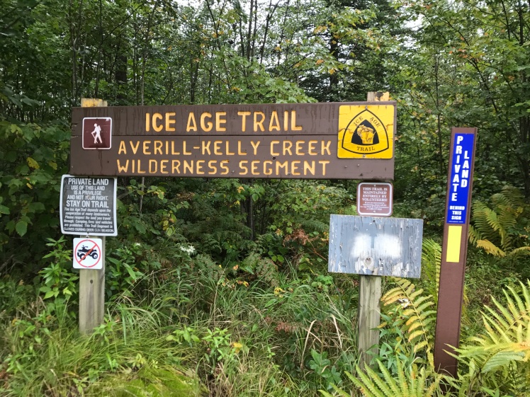
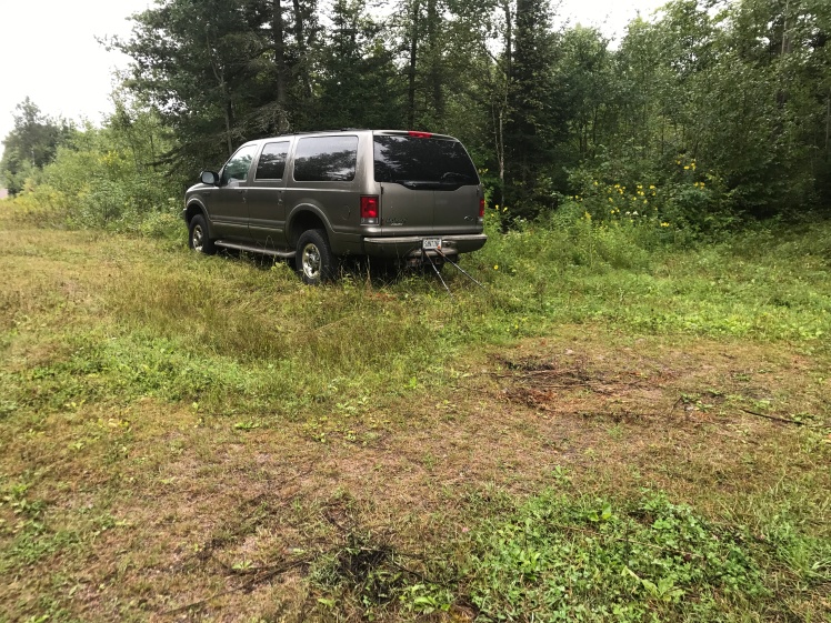
The hike for this 5.1 mile segment begins on the south side of E at this sign:
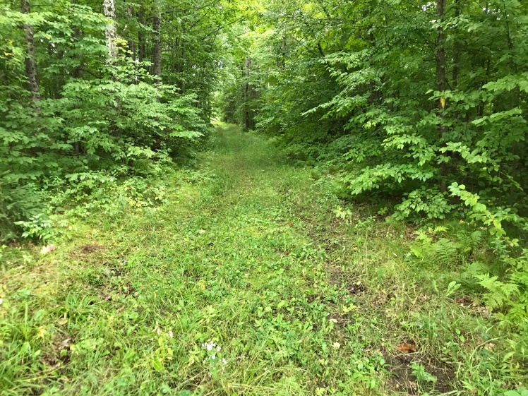
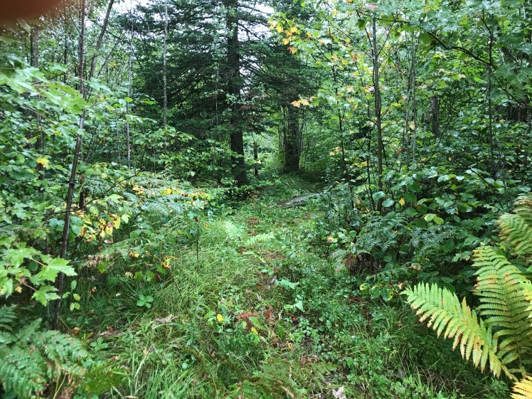
and heads into the woods on this wide snowmobile/multi use trail:
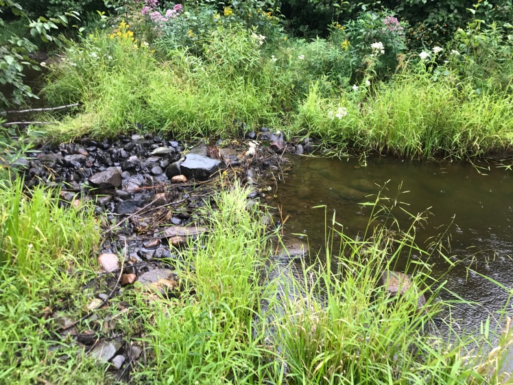
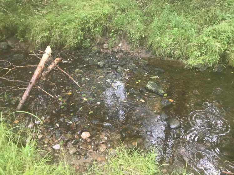
Thee are a number of small stream/river crossings in these two segments. The first one is quite small and is found about a half mile from the start of the hike. This small stream is draining a fairly large swamp that the trail passes by:
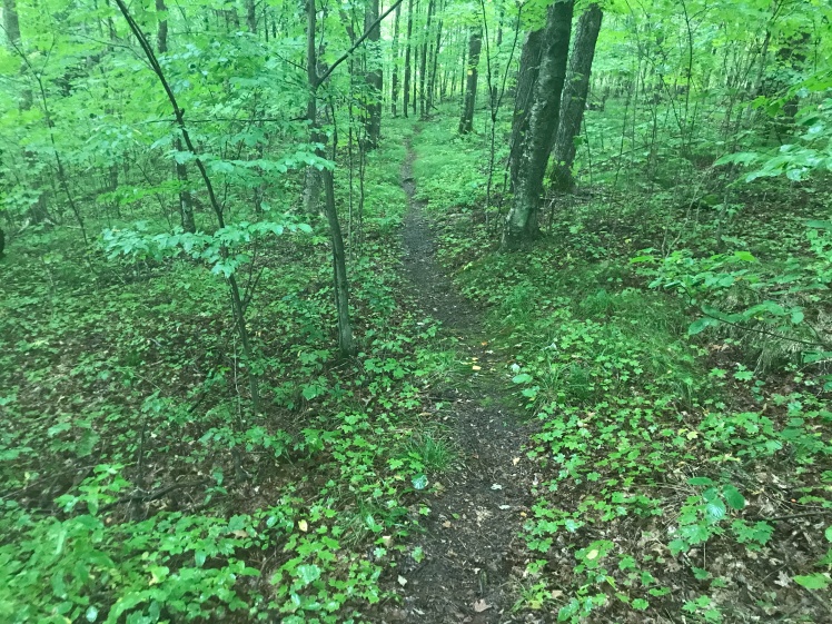
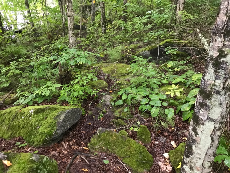
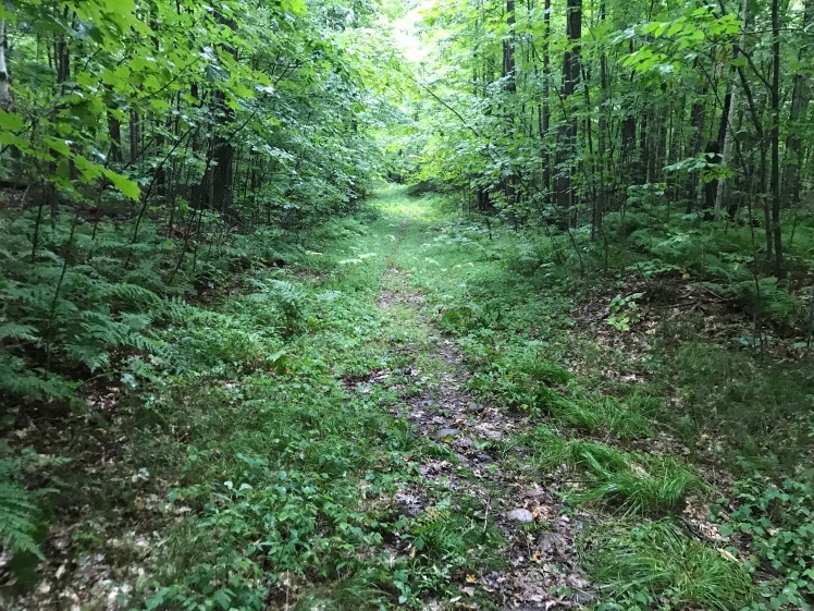
After climbing away from the low area, the trail becomes a very nice single track:
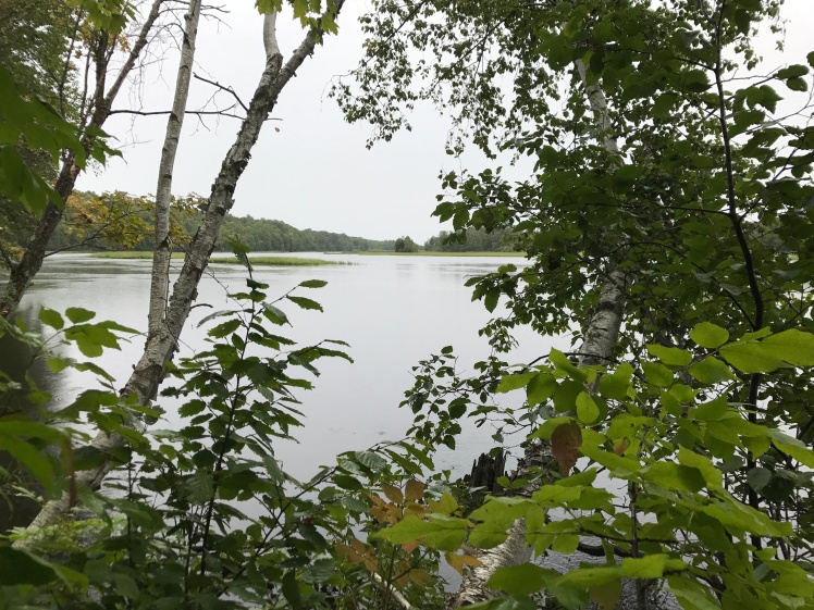
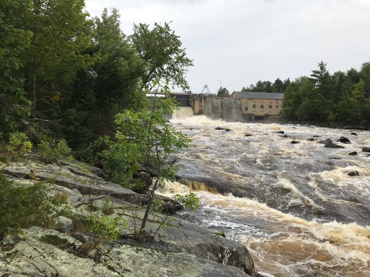
The trail eventually heads east and takes you to the west bank of the Wisconsin River. This is a picture of the lake above the dam:
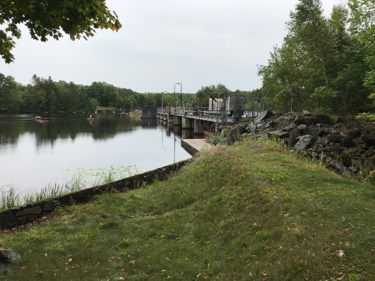
A picture of the dam from the northwest:
and a closer picture:
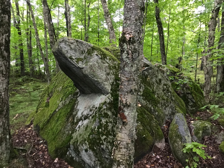
After passing the dam and continuing to head south along the west bank of the Wisconsin River, the trail becomes more of a self picked route between the blazes then an actual trail as it works its way through boulders along the bank of the river:
If you take your time here, it’s a lot of fun. I only found one place where I needed to use my hands and that was getting up this boulder. The picture was taken from above and isn’t the greatest. This surface was fairly steep and about 3.5 feet high and slippery. I used my hands to grab the roots and climb up the left side of it as seen in this picture.
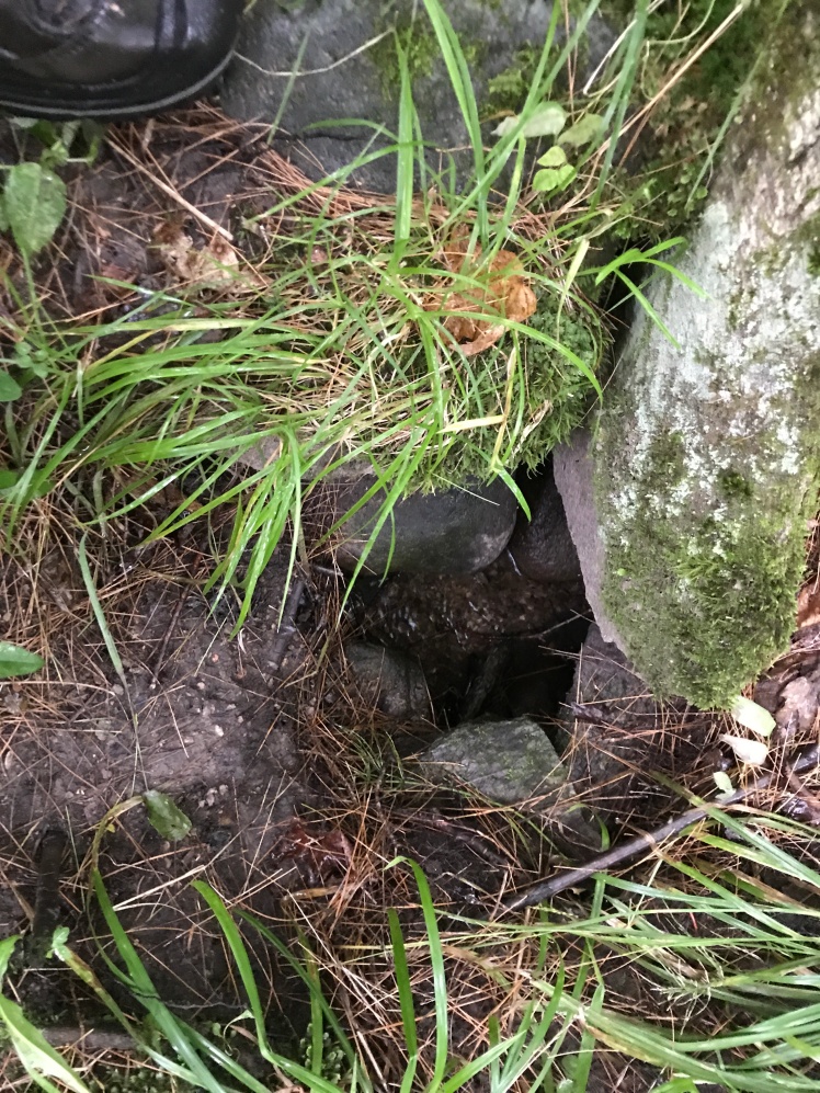
I saw a number of these and decided to take a picture of one of them. It’s fairly difficult to see but there is water running underground toward the river in the bottom of the hole.
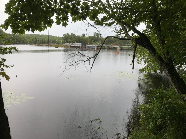
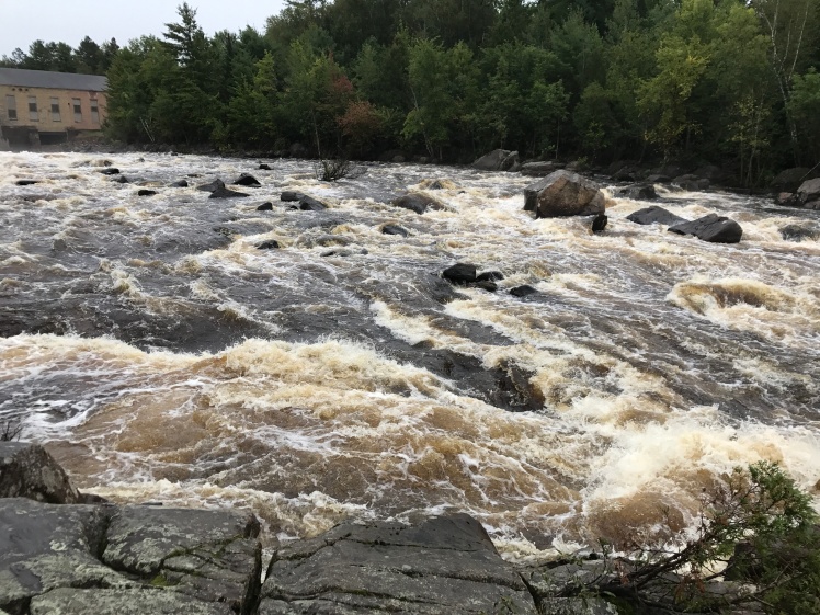
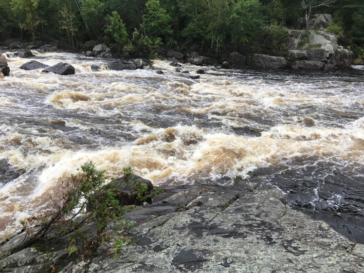
Some pictures of the dam and the river below the dam, this time taken form the west bank:
Turtle Rock, an old Indian ceremonial location, for which this segment is named:
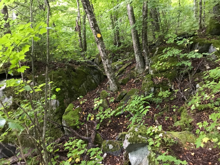
Eventually the trail climbs a steep hill away from the river and settles onto this nice trail as it begins its journey west into the wilderness areas:
The trail heads west to Burma Road, the western end of the Turtle Rock Segment. At this point you go north a hundred feet or so on Burma Road to this sign on the west side of the road where the 4.8 mile Averill-Kelly Creek Wilderness Segment begins:
The trail begins here and, for the first mile or so, turns into a fairly rough single track:
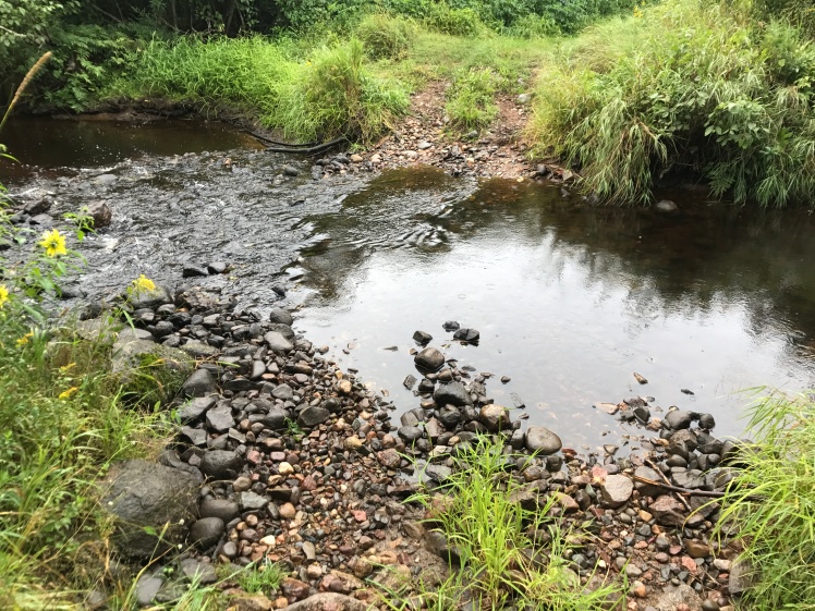
The first of 3 stream crossings in this segment: this is Kelly Creek.
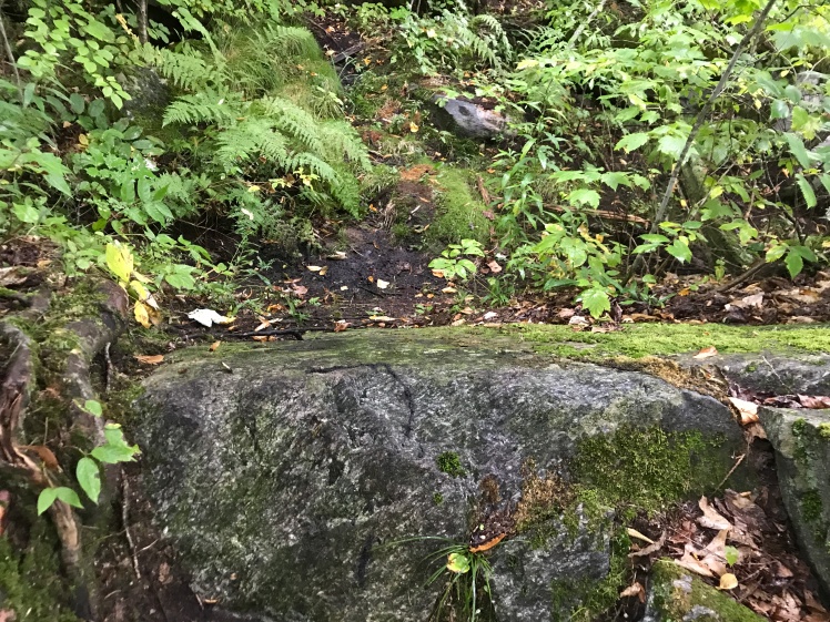
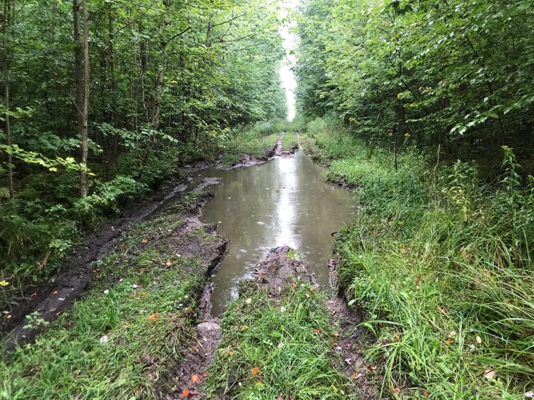
After being so prevalent on the trail a month or so ago, I haven’t seen muddy areas like this one in a while. This segment had a few of them:
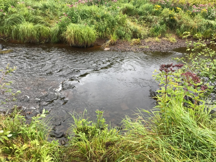
The Averill Creek crossing:
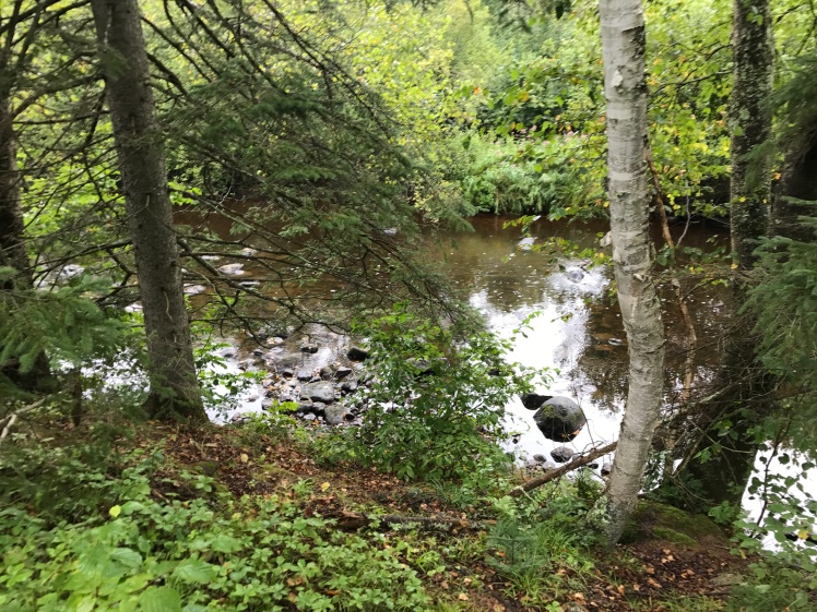
and just a bit further down the trail, the New Wood River:
A picture of the New Wood River from above as the trail followed it for a while after the crossing:
The segment ended at Highway E. At that point I turned north and had a .6 mile hike on the road back to the parking lot:
As I mentioned earlier, I was glad to be done and ready to head home for a warm shower!!
Weather – steady rain and 62 degrees
Miles covered today – 10.5
Miles covered to date – 783.1
Miles remaining – 311.2
